Geospatial Engineering
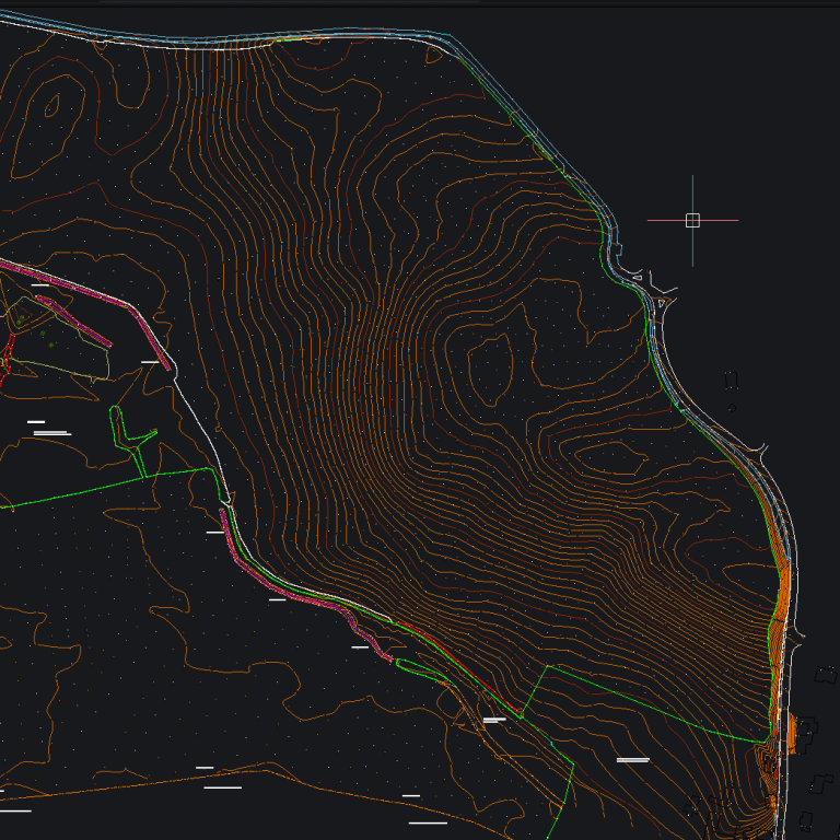
Our geospatial engineering services provide the accurate spatial data required to support all stages of a project, from initial planning through to final delivery. We undertake detailed topographical surveys to capture existing site conditions, alongside precise setting out to ensure designs are accurately translated onto the ground. These services form part of a broader, flexible offering designed to support a wide range of project requirements and site conditions.
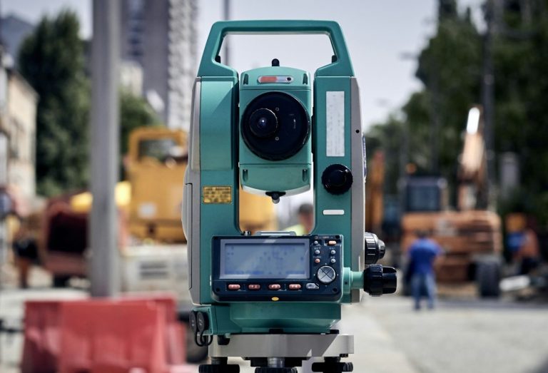
We also carry out as-built surveys to verify completed works against design specifications, as well as volume surveys to support material management, earthworks calculations, and cost control. Using advanced geospatial equipment, including GNSS and total stations, we deliver survey-grade data that integrates seamlessly into CAD and BIM workflows. Our approach is adaptable, allowing us to provide additional geospatial support as required to meet the specific needs of each project.
Precision you can build on.
Engineered accuracy for reliable delivery
Request a quote from Utility Survey & Design to support your project with precise, reliable geospatial data. From initial surveys to final verification, we provide the accuracy and clarity needed to keep your project on track and built to specification.